

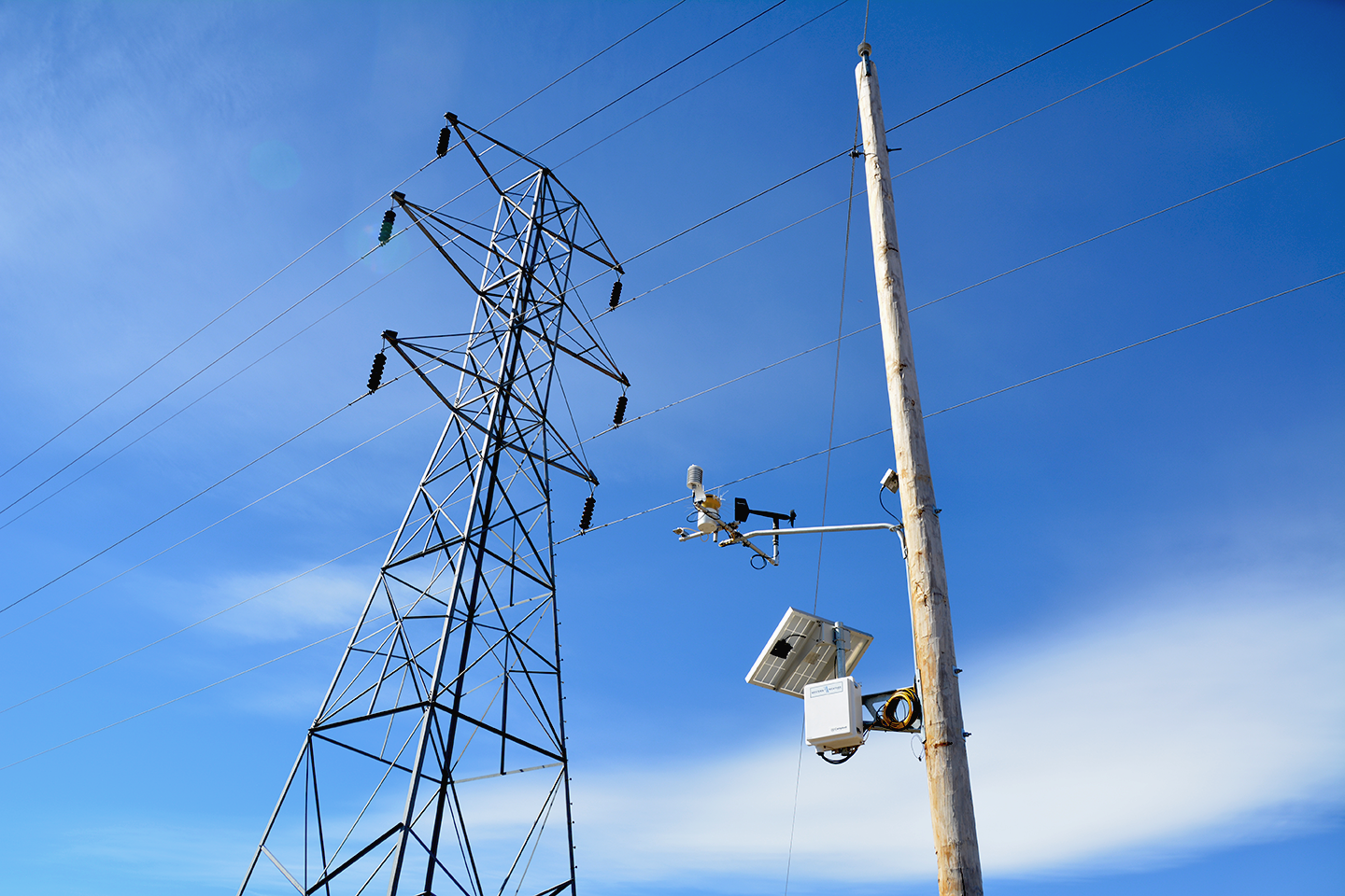
Building a Utility Weather Station Network: From Site Selection to Deployment
Learn how to effectively build a utility weather station network, ensuring reliable data for critical decisions during high-risk weather events.
| By: Western Weather Group
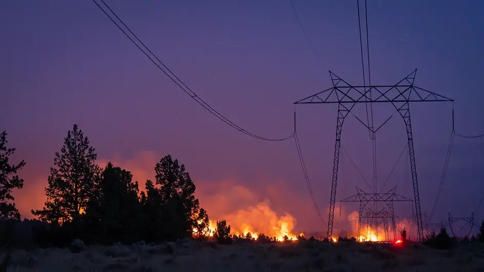
Plan PSPS weather station networks as decision infrastructure
Site stations by fire-weather risk geography, not raw station count
Pair live observations with site-specific forecasting to confirm, not assume
Calibration, maintenance, and documentation data is what makes a shutoff call defensible later
A PSPS plan gets unreliable when the nearest weather reading is miles away from the circuit you may have to shut off. PSPS weather station networks are decision infrastructure, and they earn that role only when they put trusted observations close to the assets that could force a shutoff call. During high fire weather, operations teams don't need a general sense of conditions across a service territory. They need to know what wind exposure looks like on the ridgeline, in the canyon, and along the line segment that could force a call in the next hour.
Executives need the same network to do a different job after the event. They need a defensible record that shows the decision was based on reliable, asset-level data. This makes the weather network more than a field operations tool; it's a shared source of information across the utility.
Planning this network is its own discipline: deciding where to place stations, how dense coverage should be, and how live observations and forecasting work together. Our goal with this guide is to break down that planning layer, assisting utility teams in designing PSPS weather station networks that support tighter outage scope, clearer field decisions, and stronger compliance records.
A public safety power shutoff (PSPS) weather station network is a connected grid of remote automated weather stations that feeds local wind, temperature, relative humidity, and other fire-weather data into utility decision systems. The goal is simple: Put trusted observations close enough to exposed assets so that operators can act on local conditions, not broad regional assumptions.
A National Weather Service zone forecast can help frame the event, but it can't always tell an operations center what's happening on a wind-exposed ridge, inside a canyon, or along a specific distribution span. PSPS decisions are impacted by these local differences that public forecasts can't see.
The same PSPS network serves two jobs. First, it gives field operations live situational awareness, showing where risk is rising, where it's easing, and where a shutoff boundary may need review. Then, it creates the record that risk and compliance leaders rely on after the event. For this reason, weather station networks for utilities should operate as a broader weather intelligence program, not as a set of isolated instruments.

During a PSPS event, the value of station data depends on how quickly it can move from the field into the hands of the teams responsible for making decisions. This communication sequence involves several connected steps: a station measures local conditions, telemetry delivers the data into a weather monitoring system, and operations teams evaluate those observations alongside internal decision frameworks, forecasts, asset exposure, and field conditions to guide PSPS decisions.
The station doesn't "decide" to shut off power. People and utility procedures do, but the station data gives those teams a sharper view of the conditions that can change a PSPS call.
In practice, the sequence of events looks like this:
Example: Imagine two adjacent circuits in the same forecast zone. One crosses a ridge where winds are accelerating. The other sits lower in the terrain and stays more sheltered. A broad forecast may treat both as part of the same risk area. But a better station network shows whether the local exposure is actually the same.
Given this context, denser, well-sited monitoring can help reduce unnecessary scope. It gives the utility more confidence that a condition is present on a specific corridor rather than assumed across a wider area. The key, though, is that data doesn't remove the need for conservative judgment during dangerous conditions, but it does give operators a stronger basis for narrowing in on a decision.
Station Density and Siting for Fire-Weather Corridors
The common assumption is that a larger station count automatically means a better network. It can, but only when the stations are placed where they answer real operational questions. Density without siting discipline can still miss the wind that matters.
A useful network starts with an understanding of risk geography:
Where do winds accelerate?
Where do fuels dry quickly?
Which circuit spans sit on exposed ridges, cross canyons, or move between microclimates?
Which locations are hard for crews to reach during events?
These questions should shape where industrial-grade weather stations belong.
| Planning factor | Why it matters | Blind spot if ignored |
| Terrain Exposure | Ridgelines, saddles, and canyon mouths can see very different winds than nearby lowlands. | The network may understate the conditions affecting exposed assets. |
| Canyon Wind Channeling | Local terrain can accelerate and redirect wind during fire-weather events. | Operators may miss short, intense wind corridors that drive ignition risk. |
| Circuit Exposure | Stations should help represent the conditions near assets that may trigger de-energization review. | Data may look complete on a map while failing to describe the circuit segment in question. |
| Fuel and Vegetation Context | Dry fuels and exposed infrastructure change the meaning of the same wind reading. | Weather data may be read without enough risk context. |
| Elevation and Microclimate Variation | Temperature, humidity, and wind can shift sharply over short distances. | One station may be asked to represent areas it doesn't resemble. |
| Maintenance Access | Stations need inspection, calibration, and repair to stay defensible. | The hardest-to-reach station can become the weakest data point during review. |
| Communications Reliability | Data has to reach operations teams during active events. | A well-sited station may fail operationally if telemetry is unreliable. |
Pole-top and standalone siting also take careful planning. Pole-top stations can put observations closer to utility assets, which helps with circuit-level awareness. Standalone stations can offer more flexibility for exposure, access, or sensor placement. Neither approach is always better, and the right choice depends on the question the station has to answer.
Wind speed and relative humidity often sit near the center of PSPS decision support because they describe two sides of fire-weather risk. Wind can stress assets and spread fire, while low humidity can signal a dry environment where ignition consequences rise. Fuel moisture, asset condition, vegetation, and forecast trends can also add context.
Utilities may use threshold models, fire potential indexes, or internal decision frameworks to bring these inputs together. The exact thresholds vary by utility, region, asset exposure, and operating procedure. Consequently, a planning guide shouldn't pretend there's one universal number.
The better consideration addresses how live data and PSPS weather forecasting work together. Forecasting gives lead time to prepare before the worst conditions arrive; live observations confirm whether that forecasted risk is materializing at the stations that represent exposed circuits. While forecasts look ahead, they carry uncertainty. Observations are certain for the place and time measured but only describe real-time conditions. Site-specific forecasting bridges this gap, using local data, terrain knowledge, and meteorological judgment to sharpen the timing and location of risk calls.
For an operations lead, this matters in the hours before and during an event. A forecast may justify pre-positioning crews and preparing a shutoff boundary. Live station readings can confirm the timing, flag unexpected acceleration, or show where conditions aren't matching the original scenario. That's the value of pairing site-specific forecasting with field observations.
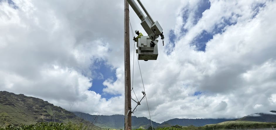
Some utilities can own much of this work internally, but others need outside support for design, installation, calibration, data management, or forecasting. The right model depends on staff capacity, territory complexity, regulatory pressure, and how much meteorological support the utility needs during active events.
The build-versus-partner question is less about ownership and more about capability. A station network needs field technicians, meteorological judgment, data systems, QA processes, and long-term support. If one of these pieces is weak, the network can fall short when conditions are most demanding.
Western Weather Group steps in when utilities need an integrated program, from station design and field services to forecasting and data management. Our work is led by scientists and supported by technical field staff with experience in weather-sensitive utility operations. If your team is deciding how much to own internally, start by identifying the gaps that would affect PSPS confidence, documentation, or response time.
You can also use our meteorology team as a resource when network design decisions depend on terrain, microclimates, and operational thresholds rather than hardware alone.
A strong PSPS network starts with the decisions it has to support. Work backward from the circuits, corridors, and conditions that drive de-energization review, and then ask whether the current network gives operations enough local visibility to act with confidence and risk leaders enough documentation to explain the call later. The design principle is simple: Build the network around fire-weather corridors, circuit exposure, forecasting workflows, and audit-ready data quality. Then, add stations only where each one answers a real decision question.
If your utility is reviewing coverage, siting, or long-term support needs, request a PSPS network design consultation. Talk to Western Weather Group about building a weather intelligence program for utility operations leaders and risk teams who need clearer PSPS decisions and stronger documentation.
PSPS weather forecasting focuses on the exact terrain, fuel exposure, and circuit conditions that affect a utility's shutoff decision. A general forecast can show the broad weather pattern, but it may not capture the local wind shifts or microclimates that matter on a specific line segment.
It needs to deliver current data fast enough for operations teams to use it while conditions are changing. This means reliable telemetry, clear dashboards, and sensors that are close enough to the risk area to be meaningful. If the data arrives late or comes from the wrong location, it's much less useful for de-energization decisions.
They give utility companies local readings that can support earlier awareness of high-risk conditions and better targeting of shutoff decisions. When the stations are placed well, they help teams see where wind, humidity, and exposure are changing before those changes become a larger problem. They also create a record that can support post-event review and planning.
A utility should review the network whenever the service territory, circuit risk, or operating plan changes, and it should also revisit the network after major weather events. If a corridor keeps showing up in PSPS planning, that's a sign the station layout may need adjustment. The goal is to keep the network aligned with the risks it’s meant to measure.
They should look for tools and partners that help with the full workflow, not just one piece of it. For PSPS planning, this usually means station design, installation, maintenance, data handling, and forecasting support working together.
Yes, if the network is maintained and the data is documented well. A utility can use station records to show what conditions were observed, when those observations were made, and how they informed the decision.
Utilities
Learn how to effectively build a utility weather station network, ensuring reliable data for critical decisions during high-risk weather events.
Utilities
Season after season, WWG renews the training that keeps its meteorologists and technical teams ready to support utility PSPS decisions with reliable weather intelligence.
Utilities
How Liberty Utilities uses real-time data from R.M. Young and Western Weather Group to modernize vegetation management.