Drawing on industry expertise from Jeff Gawrych, Utility Solutions Advisor at WWG, this article explores how Liberty Utilities (CalPeco Electric) LLC (“Liberty”) uses real-time data from R.M. Young and Western Weather Group to modernize vegetation management.
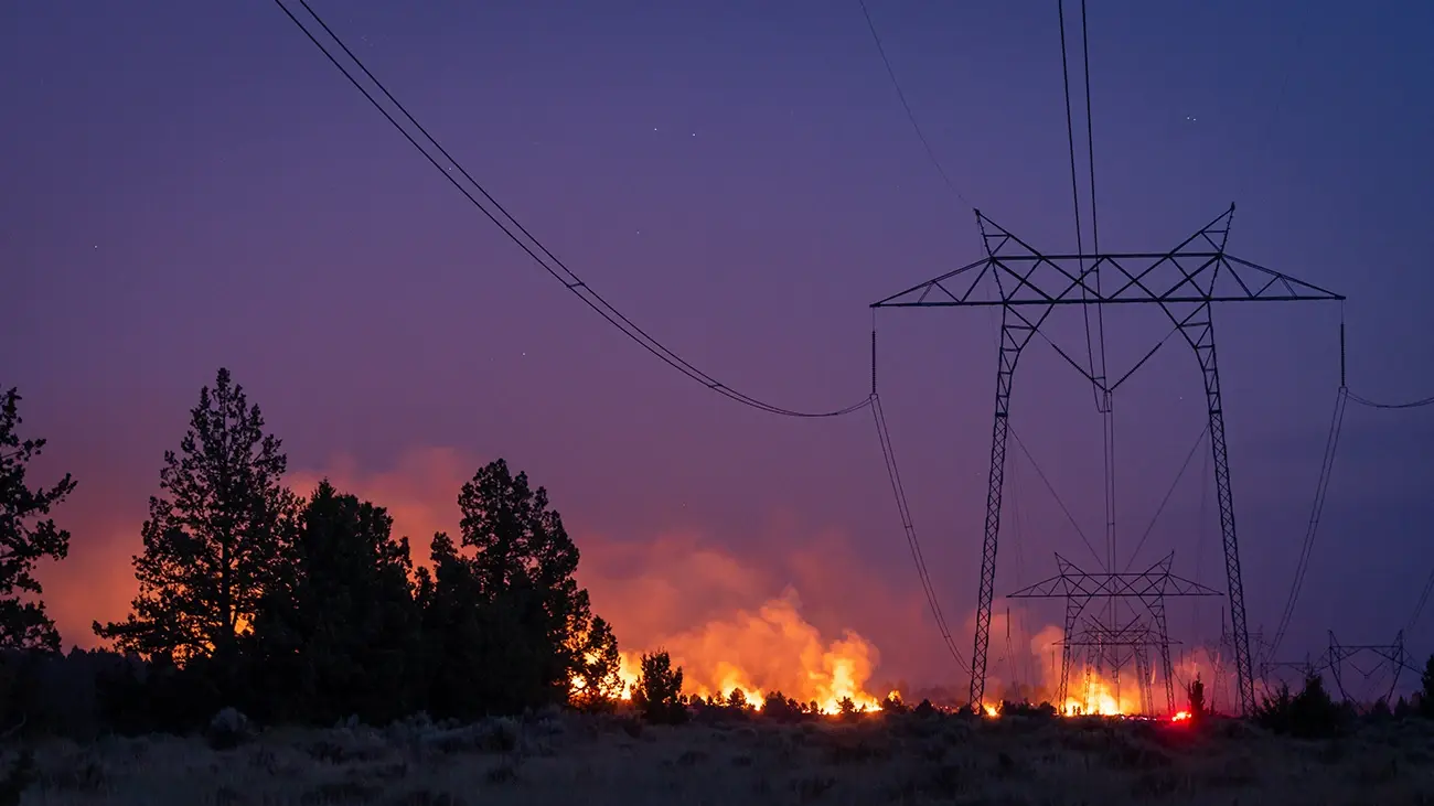
Vegetation management used to run on a calendar. Wildfire mitigation plans changed that plan for utilities across the West, and nowhere is the shift clearer than in the high-elevation, high fire-threat terrain of Lake Tahoe.
Liberty’s Lake Tahoe territory serves roughly 49,000 customers across the Tahoe Basin, on the California side of the lake. It's a small footprint by utility standards, but a demanding one: high elevation, heavy tree cover, and a service area that sits entirely within a state-designated high fire threat district. That combination puts vegetation management at the center of the utility's wildfire mitigation work.
Liberty's team represents the vegetation management side of this story: the crews, the inspection cycles, and the calls made on red flag days. Western Weather Group and R.M. Young represent the weather and instrumentation side: the station network and sensors that turn field conditions into a decision-making tool. Together, their experience shows what real-time, asset-level weather data makes possible once it's built into a vegetation management program.
From Fixed Cycles to Field-Level Awareness
Prior to 2019, vegetation management in Liberty's service territory looked like it did across much of the industry: a fixed three-year maintenance cycle, ground-based inspections, and intermittent tree-mortality checks. No dedicated weather station network and no way to see conditions changing in real time.
"Before weather stations we did the standard ground-based inspections with some intermittent tree mortality checks. If a red flag day came up, we'd look at the National Weather Service forecast and prioritize any critical work before conditions hit," said Eric Oiler, Manager, Vegetation Management, Liberty.
Liberty still leans on that same instinct on the most extreme days, but what's changed is the foundation of their approach. The team now has granular, immediate visibility into conditions on a given circuit instead of a single regional forecast to react to.
It all changed when California's wildfire mitigation plan requirements went into effect. Liberty began deploying weather stations in late 2019, giving its vegetation management and wildfire prevention teams a level of field visibility they hadn't had before.
A Hybrid Model for Vegetation Management
Today, Liberty runs a hybrid vegetation management program: a fixed three-year cycle for detailed, deep-dive inspection of vegetation along its circuits, paired with annual LiDAR remote sensing to monitor line clearances, plus condition-based supplemental inspections for tree mortality and other elevated risk.
"It's a mix of fixed cycle and condition based. The three-year cycle works well for hazard tree removals, and LiDAR remote sensing helps us maintain clearances in between," Oiler said.
Liberty has evaluated satellite-based monitoring but has stayed with LiDAR for clearance work. As a distribution utility operating within a high fire threat district, the margin of error required to maintain a minimum four-foot clearance leaves little room for the variance satellite currently introduces.
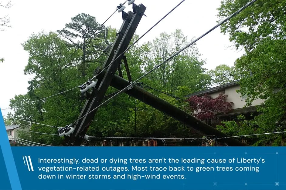
Interestingly, dead or dying trees aren't the leading cause of Liberty's vegetation-related outages. Most trace back to green trees coming down in winter storms and high-wind events, with dead-tree risk concentrated on lower-voltage service drops, which fall under homeowner responsibility rather than utility maintenance.
Wind Is the Variable That Moves the Needle
Ask Liberty's team what they watch most closely, and the answer isn't rain or temperature, or even the fire index in isolation. It's wind.
"From a risk standpoint, wind is the main thing we're looking at," Oiler said. “When forecasts point to elevated winds on top of hot, dry conditions, the team pre-positions crews and checks for anything that needs work before conditions hit, rather than waiting for a failure to respond to.”
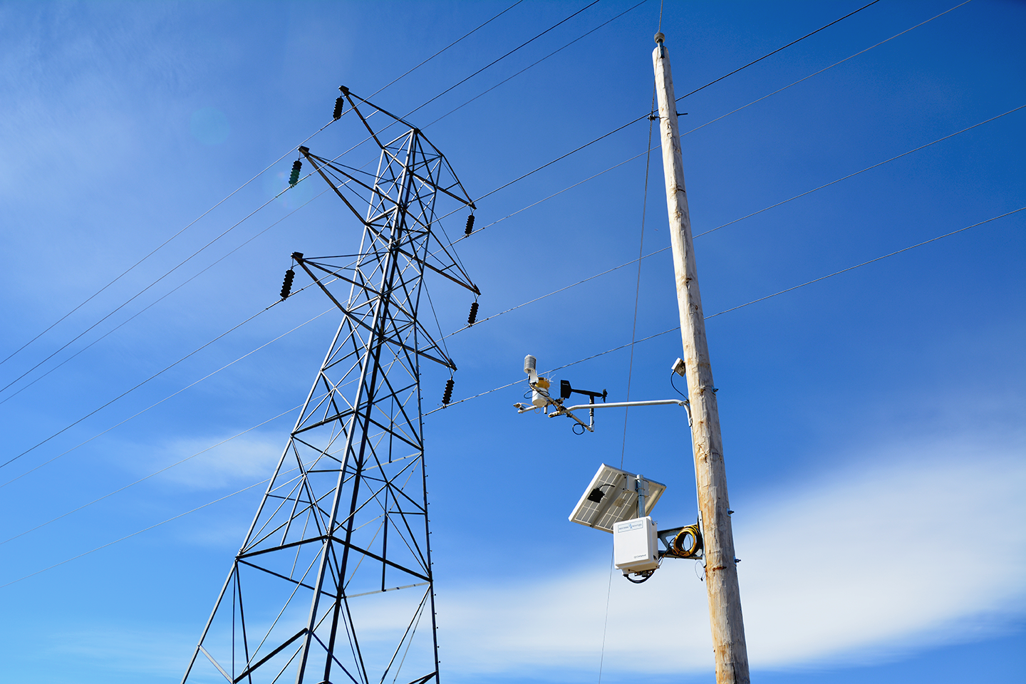
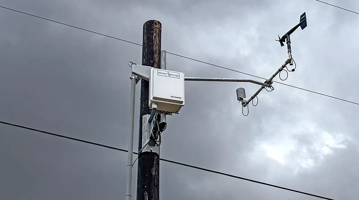
That's precisely where the value of industrial-grade instrumentation comes into play. Every Liberty weather station carries R.M. Young wind sensors alongside fuel and soil instrumentation, including 10-hour fuel moisture sensors, supplemented by separate field sampling for 1,000-hour and live fuel moisture at select sites. Station and forecast data together feed fire-danger indices, including spread component, burning index, and the Fosberg Fire Weather Index, that inform day-of operational decisions.
"Once forecast data shows conditions we're concerned about, we turn our attention to the weather stations in that specific area and start looking at the more real-time data coming in," said Peter Stoltman, Director, Wildfire Prevention, Liberty.
Liberty also uses its weather station network for post-event analysis. When a tree failure causes an outage, an arborist investigates species and failure mode in the field while the team pulls wind and weather conditions from the nearest station at the time of failure. Liberty has been building this dataset since 2020 and expects to feed it into risk modeling work.
Turning Field Data into Regulatory Confidence
Weather station data has become a key piece of evidence in Liberty's conversations with regulators and customers about proactive power shutoff decisions.
"Having concrete data on what was actually happening in the field on the day we made a decision is really helpful with regulators and customers. When someone asks why we turned their power off, we can point to the conditions we experienced," Stoltman said.
Learning What's Normal Across the System
Years of station data have also sharpened Liberty's sense of what's routine versus what's a genuine concern on any given part of its system.
"We have way more insight into what's normal for our system than we did in the past,” Stoltman said. “Knowing it's windy on a particular line today, and that this is typical for that part of our territory, helps us figure out whether something is a real concern or just normal conditions."
A Partnership Built on Reliable Instrumentation
Liberty's weather station network is deployed and maintained by Western Weather Group, instrumented with sensors from R.M. Young. The collaboration reflects a broader pattern across WWG's utility client base: field-hardened hardware paired with the deployment, integration, and interpretation support utilities need to put weather data to work.
"Wind is usually the variable that decides what happens on the worst days, which is exactly why the instrumentation behind that reading has to be dependable. R.M. Young sensors give our utility clients a wind measurement they can act on and defend to a regulator,” said Nathan Lohse, CEO of Western Weather Group. “Pairing that hardware with our field deployment lets a program like Liberty's treat current conditions as an operational input, not just a historical record."
"Our instruments are designed to provide reliable and accurate data up to and beyond the threshold conditions where utility risk and vegetation management decisions need to be made," stated Conor Byrne, Engineering Manager at R.M. Young. "Those hot, dry conditions with sustained high winds are exactly the environment our sensors are built for, and it’s rewarding to see that data feed directly into decisions that protect both crews and communities."
Lessons for Utilities Building Out Weather Networks
Asked what advice they would give to a utility outside the wildfire-prone West that's considering a weather station network for the first time, Liberty's team pointed to a few key takeaways:
Density can flex, but placement still matters
Not every utility needs the dense network western utilities have built, but strategically placed, industrial-grade stations still deliver real situational awareness.
The value extends well past wildfire
Once a network is in place, the same data supports vegetation management, asset management, and broader operational planning during severe weather events and beyond.
Historical weather data can uncover engineering fixes
Correlating outage history with wind thresholds by circuit can reveal recurring issues, like wire slap at a specific wind speed, that point to a targeted engineering solution.
Post-event analysis closes the loop
Pairing tree-failure investigations with the nearest station's conditions at the time of failure builds the kind of dataset that eventually feeds into predictive risk modeling.
A More Resilient System
Wildfire risk keeps increasing, and vegetation management is no longer a fixed-cycle afterthought; it's a program built around the conditions on the ground that day.
Liberty's experience shows what field-level weather data makes possible when the hardware behind it holds up: a hybrid program that pairs scheduled inspection with live, condition-based response, stronger evidence for regulators and customers, and a growing dataset that will keep sharpening how the utility manages risk across its system.
For Liberty, that hardware is Western Weather Group's instrumentation network, deployed with sensors from R.M. Young, turning field conditions into decisions crews and regulators can both stand behind.